Embracing the Potential of Quadcopters and Drones in Smart City Planning
Category : |
Sub Category : Posted on 2024-01-30 21:24:53
Introduction: As the world becomes increasingly urbanized, the concept of smart city planning has gained significant attention. One of the key technological advancements revolutionizing this trend is the use of quadcopters and drones. These unmanned aerial vehicles (UAVs) are proving to be invaluable tools for gathering data, monitoring infrastructure, and aiding in decision-making processes. In this blog post, we will explore how quadcopters and drones are transforming smart city planning.
1. Enhanced Data Collection: Traditionally, gathering data for urban planning involved tedious and time-consuming methods. However, quadcopters and drones have made it easier and more efficient. Equipped with high-resolution cameras, LiDAR scanners, and other sensors, these aerial devices can capture detailed images and collect vast amounts of data with incredible precision. This information can then be used to create accurate 3D models of cities, assess infrastructure, monitor traffic patterns, and analyze environmental impact.
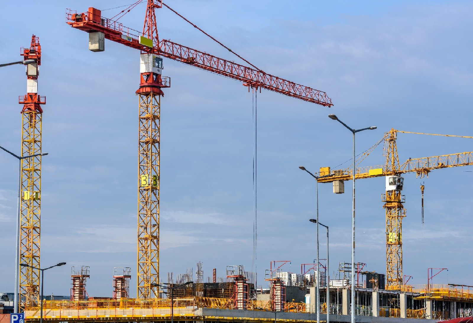
2. Infrastructure Monitoring: Maintaining and monitoring the urban infrastructure is crucial for the smooth functioning of a city. Quadcopters and drones provide a cost-effective and efficient way to monitor bridges, roads, buildings, and other vital structures. With these devices, city planners can identify signs of wear and tear, detect structural weaknesses, and prioritize maintenance and repair work. Regular inspections using UAVs can help prevent disasters and ensure the safety of the city's inhabitants.
3. Traffic Management: Traffic congestion is a persistent challenge in cities worldwide. Quadcopters and drones can contribute significantly to improving traffic management. By capturing real-time data, these devices can monitor traffic flow, identify bottlenecks, and suggest alternative routes or timing adjustments. With this information, city planners can optimize traffic signal timings, implement congestion pricing, plan road expansions, and invest in public transportation infrastructure.
4. Environmental Impact Assessment: Smart city planning also considers the environmental impact of urban development. Quadcopters and drones offer valuable insights into this aspect. From monitoring air quality to mapping green spaces, these devices enable planners to assess the environmental impact of various projects. Such data can then inform decisions related to sustainable practices, urban greening, and mitigating the effects of climate change.
5. Disaster Management: During natural disasters or emergencies, quadcopters and drones can play a crucial role in aiding relief efforts and assessing damage. Rapidly deployed UAVs can survey affected areas, identify areas of concern, and guide response teams. They can provide real-time footage, identify trapped individuals, and assist in search and rescue operations. By leveraging these devices, city planners can ensure more effective disaster response and better allocate resources.
Conclusion: Quadcopters and drones have become indispensable tools for smart city planning, offering unparalleled capabilities in data collection, infrastructure monitoring, traffic management, environmental impact assessment, and disaster management. As cities continue to grow and evolve, embracing the potential of these aerial devices will lead to more efficient and sustainable urban development. By integrating quadcopters and drones into smart city planning strategies, we can pave the way for a better, smarter future. Explore this subject in detail with http://www.jetiify.com
To find answers, navigate to http://www.s6s.org
Want a deeper understanding? http://www.spydroner.com


